

Researchers are using a geologist’s version of an MRI to map the Mahomet Aquifer
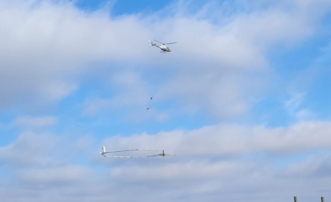
During several days last week, a helicopter hauling a huge antenna flew at low altitudes over rural Champaign County. The antenna sent electromagnetic waves into the ground about 100 feet below, where they bounced off of underground rock and sediment formations, and were picked up by sensors mounted on the antenna’s frame. In this way