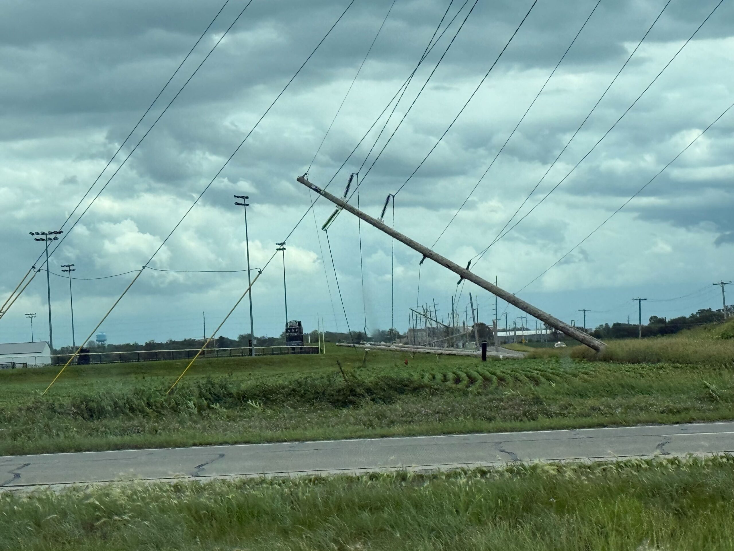
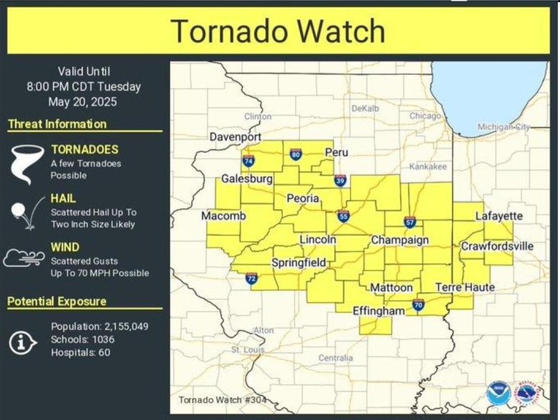
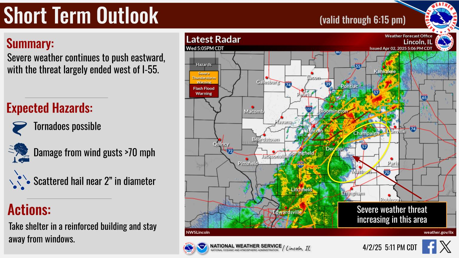
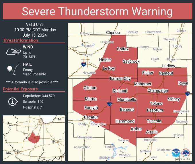
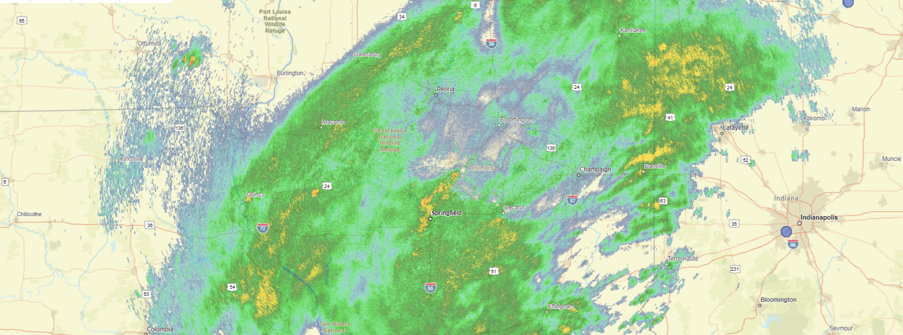
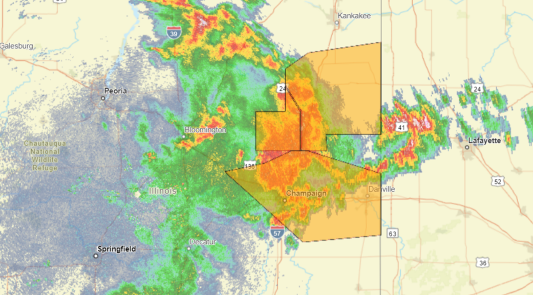
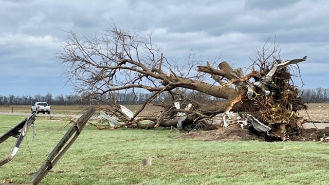
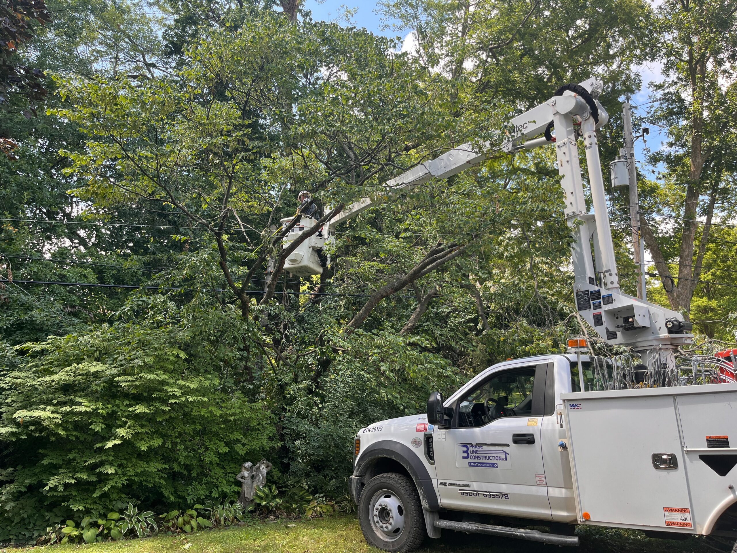
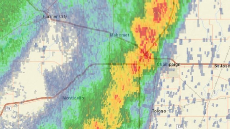
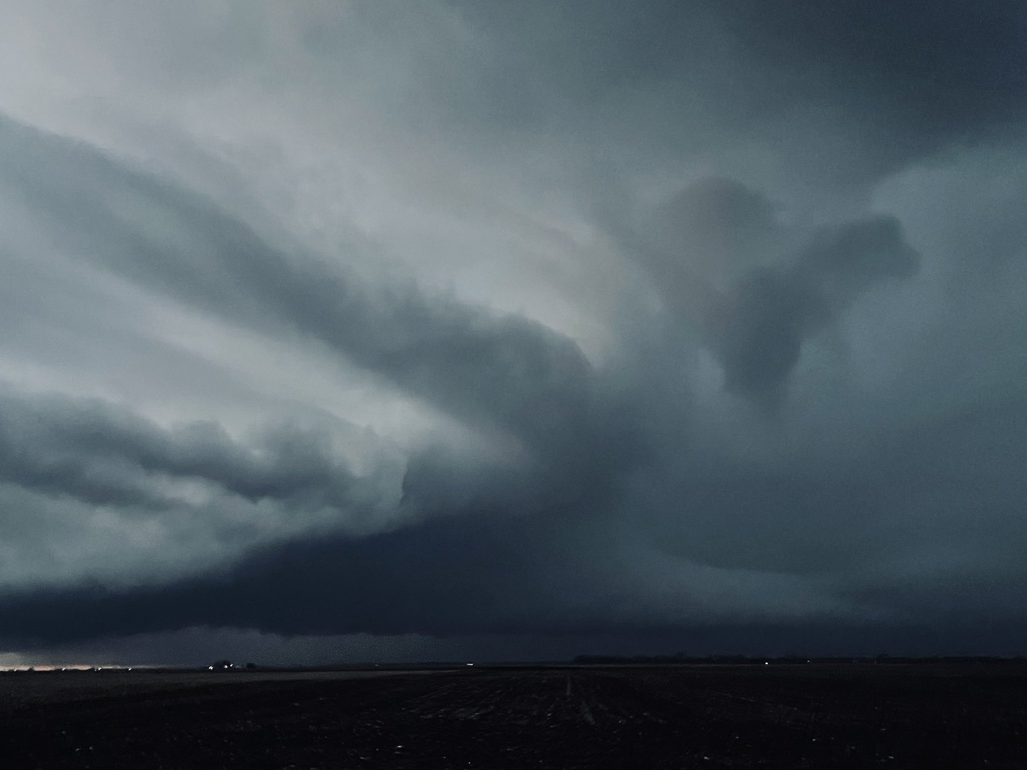
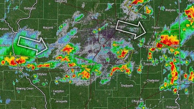
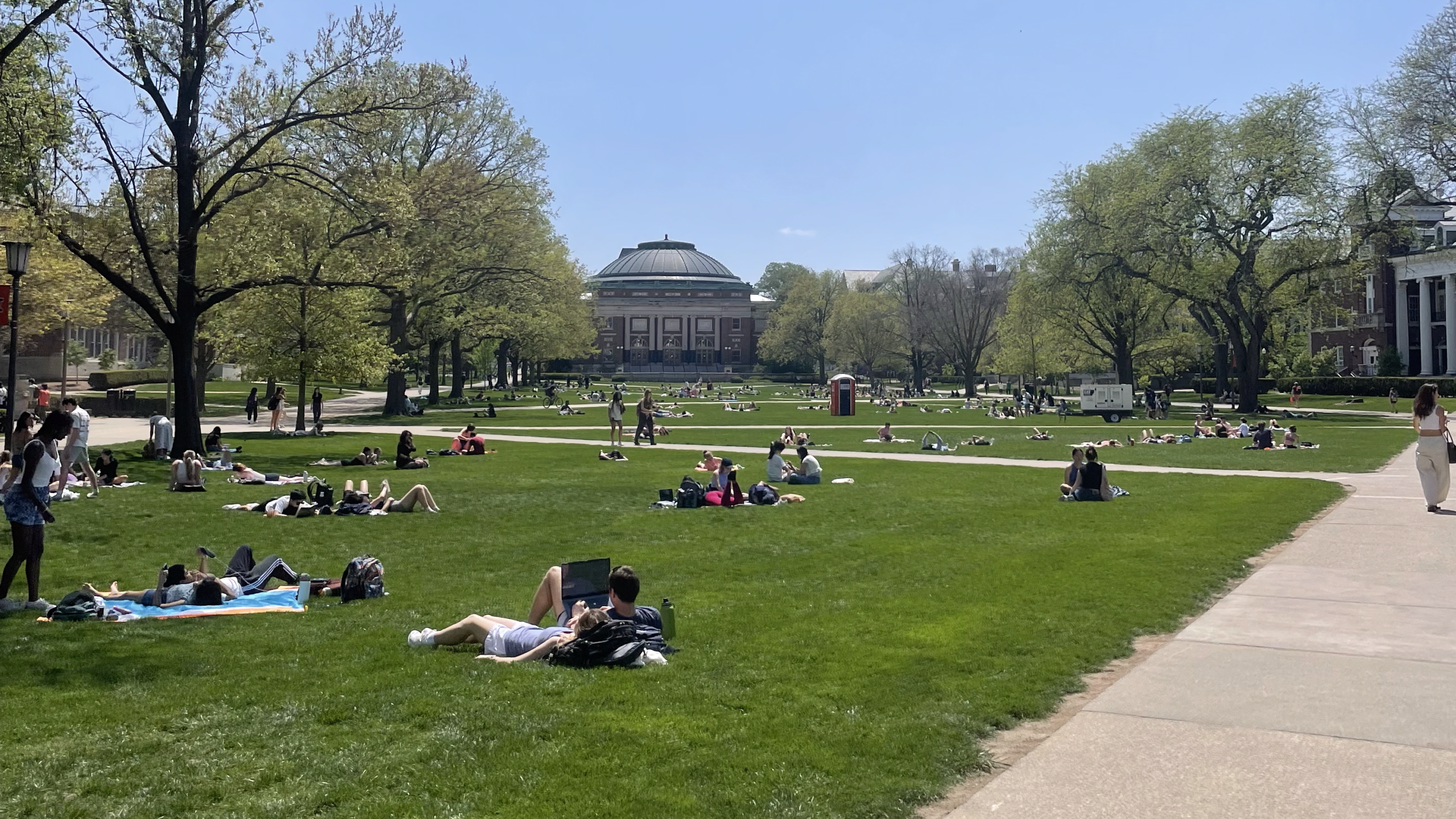
Tag: severe weather

Hurricane Beryl’s remnants to bring heavy rainfall and potential flooding to Illinois

Meteorologists in Illinois are closely tracking Hurricane Beryl, as the storm’s remnants are forecasted to sweep through the state from late Tuesday into Wednesday. Beryl touched down in Texas early Monday as a Category 1 hurricane. It was quickly downgraded to a tropical cyclone and shifted northeast towards Illinois. The aftermath of Hurricane Beryl is

hurricane image over Texas

Beryl weakens to tropical storm after sweeping into Texas as Cat 1 hurricane; may pass over Illinois

From NWS Lincoln: Tomorrow into Wednesday, the remnants of Hurricane Beryl are forecast to bring a swath of heavy rainfall to some part of central or southeast Illinois. The highest chance (around 20%) for more than 3 inches of rain is south of a Litchfield to Danville line. This would result in localized flooding of poor drainage, urban areas, and could cause some streams and creeks to overflow their banks.

Central Illinois radar image

Severe storms possible Thursday evening and overnight

From the National Weather Service in Central Illinois: A line of t’storms will affect the area late Thursday afternoon into the overnight hours. Some severe storms are in the forecast, with damaging wind gusts and large hail. Stay weather aware and be ready to take shelter when storms approach.

Morning storms move through Central Illinois

Illinois Public Media News is monitoring severe storms forecasted for Central Illinois on April 4. This post will be updated with information from the National Weather Service in Lincoln and Chambana Weather meteorologist Andrew Pritchard. According to Chambana Weather meteorologist Andrew Pritchard, the severe weather risk will remain northwest of Champaign Urbana on Tuesday, focused around the Quad

Tornado Watch now until 6pm for Central Illinois

The National Weather Service in Central Illinois has issued a Tornado Watch for Champaign, Coles, Douglas, Macon, Moultrie, Piatt, and Vermilion Counties until 6:00 p.m. CST. We will update this post with forecast updates. A tornado watch has been issued for parts of Illinois, Kentucky and Missouri until 6 PM CST pic.twitter.com/4C8urqvwwT — NWS Lincoln

Tornado warned storms cause damage in Central Illinois

Illinois Public Media is tracking severe storms in Central Illinois on January 3, 2023. This story will be updated with posts from Chambana Weather meteorologist Andrew Pritchard and the National Weather Service. Updated at 10:50 p.m. Here is the National Weather Service Central Illinois map of the storm reports. It now indicates 6 tornado touchdowns. Meteorologists will survey

Storms bring heavy rain to Central Illinois

Illinois Public Media News is monitoring severe storm protentional on Monday. The National Weather Service in Central Illinois says strong thunderstorms is tracking across the region, producing strong wind gusts, rain and hail. We will update this post with the latest forecast information. Tuesday 1:30 a.m. URBANA – Destructive winds and flash flooding kept many

Southern Illinois storm spares lives, spoils soybeans

NEWTON — Parts of southern Illinois are recovering after a sudden storm dropped about ten inches of rain and hail in less than 24 hours. No one was injured in Jasper County, according to the sheriff’s department. The casualties in this flash flood were the crops. Farmer Richard Ochs says he expects the remaining flood

Severe weather risk downgraded for this afternoon

Illinois Public Media News is monitoring a threat of severe storms on Wednesday that is forecasted by the National Weather Service in Central Illinois and other meteorologists. Tornadoes, high winds, and large hail are possible in East Central Illinois. We will update this post with the latest forecast information. Updated Wednesday at 4:00 p.m. Forecasters

Strong winds and storms expected today

CHAMPAIGN – Meteorologists say strong winds, with gusts up to 50 miles per hour, followed by thunderstorms will impact Central Illinois today. The National Weather Service says a Wind Advisory is in effect Wednesday from 9:00 a.m. to 9:00 p.m. The Champaign-Urbana, Danville, and Decatur areas should expect peak wind gusts 45 to 50 mph.

Wind Chill Advisory Tue. 8pm-Wed. 9am; Danville Schools closed

This story was updated Tuesday at 5:45 p.m. We will update as new weather information is posted. URBANA – The National Weather Service in Central Illinois has issued a Wind Chill Advisory for Tuesday night into Wednesday morning. The wind chill is the temperature it “feels like” outside when combined with wind. Wind chills in